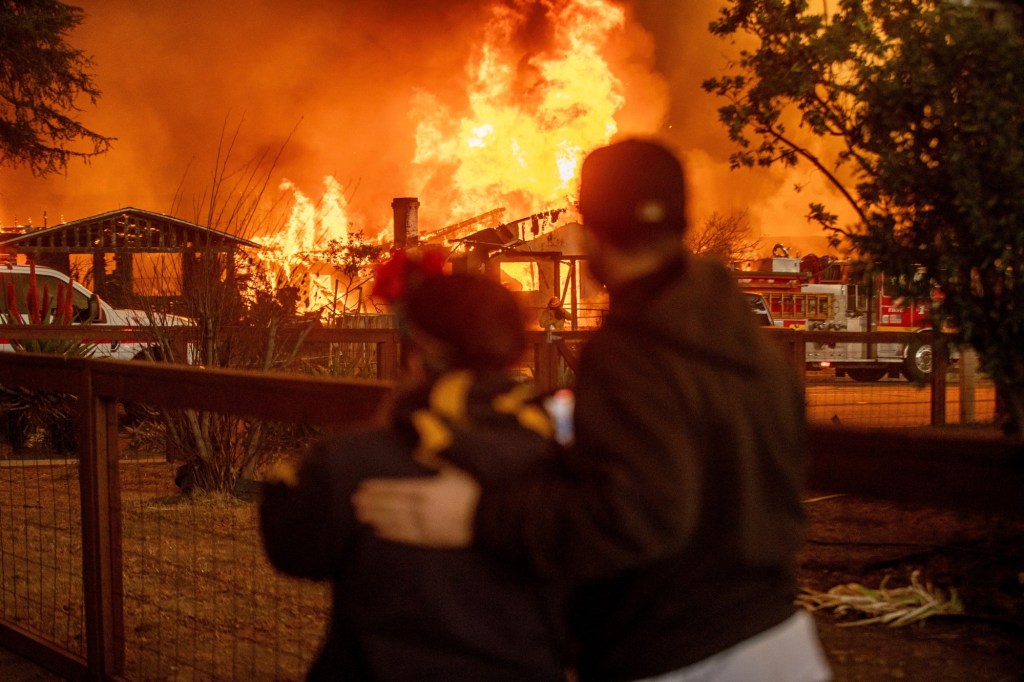

Santa Ana winds have sporadically whipped isolated areas of eastern San Diego County the past couple of days — but they haven’t triggered the sort of hellacious wildfires burning in greater Los Angles.
Why?
Forecasters say the main reason involves wind direction. Broadly speaking, the mountain passes and canyons flanking Los Angeles are oriented north to south.
The Santa Anas have been arriving from the north and have had a broad and largely unimpeded path to the coast — a path that cuts through heavily populated areas where there are many potential sources of ignition.
The specific cause of the wildfires is still being determined. But fire experts note that that 95% of wildfires in California can be tied, directly or indirectly, to people.
San Diego County’s mountain passes and canyons are mostly oriented east to west. To a significant degree, that has prevented this week’s Santa Anas from broadly spreading across the county and racing all the way to the sea.
But the situation will be different Thursday night and early Friday. The National Weather Service says the Santa Anas are shifting direction and will soon arrive from the east.
They won’t hit the coast hard. But they could blow 40 mph to 70 mph in areas east of Interstate 15 — a region that is home to more than 600,000 people. And the relative humidity will be much lower than it was earlier in the week.
“The humidity could drop into the single digits,” said Adam Roser, a weather service forecaster. “And the winds we’ve gotten this week have been further drying out the landscape.”
That stirs concern among forecasters and first responders. So does the fact that there’s no significant rain in the 10-day forecast.
San Diego has only received 0.16 inches of precipitation since July 1 — barely enough to cover the bottom of a drinking glass.
Originally Published:


