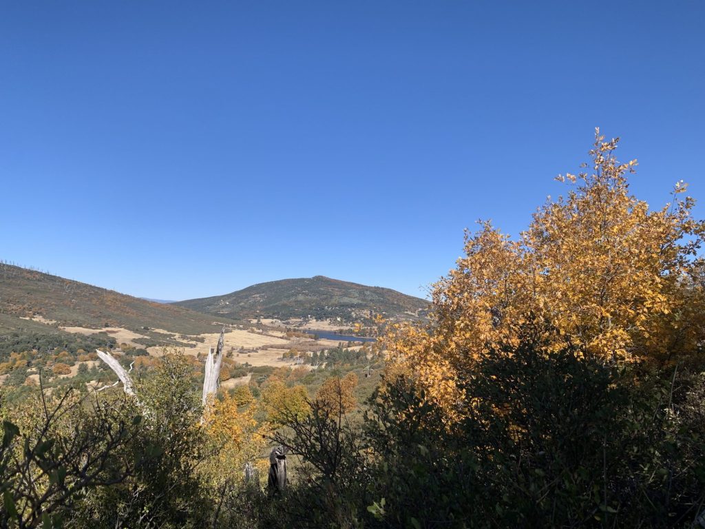
It always feels like a treat to drive up to the Cuyamaca Mountains, passing by the campgrounds, open space and farms on state Route 79.
And luckily, the destination for the drive this week was just as scenic. Stonewall Peak, at 5,730 feet, is situated south of Lake Cuyamaca and directly across from the Paso Picacho Campground.
It’s a roughly 4-mile, easy-to-moderate hike along the Stonewall Peak Trail to the summit and back. At the top, after about 1,000 feet of elevation gain, hikers get a 360-degree view of the surrounding and distant wilderness, including the Laguna Mountains to the southeast and San Gorgonio, the tallest peak in Southern California, to the north.
There are two trails that lead to Stonewall Peak, but this is the more straightforward route. Hikers can also reach the peak via the Vern Whitaker Trail, which connects with the Stonewall Peak Trail from the northeast.

The trail, though predominantly switchbacks, also offers some more technical hiking near the summit, where hikers must climb a narrow set of stairs carved into the rock, protected by a railing.
Stonewall Peak shares a name with the nearby Stonewall Mine, which gets its name from Confederate Gen. Thomas “Stonewall” Jackson.
A Confederate-sympathizer, William Skidmore, is most often cited — including on the state park’s sign posted at the location — as the person who found the mine and named it the Stonewall Jackson Mine in 1870.
To reach the trailhead, park at the Paso Picacho Campground at 13652 CA-79 in Julian. There is a $10 fee to park in the campground’s day-use lot, with a $1 discount for seniors.
Carefully cross the highway where the trailhead is clearly marked with a sign and an information kiosk.
!function(){“use strict”;window.addEventListener(“message”,(function(a){if(void 0!==a.data[“datawrapper-height”]){var e=document.querySelectorAll(“iframe”);for(var t in a.data[“datawrapper-height”])for(var r=0;r<e.length;r++)if(e[r].contentWindow===a.source){var i=a.data["datawrapper-height"][t]+"px";e[r].style.height=i}}}))}();
Start walking on the wide, dirt path as it gradually climbs up the side of the mountain. After hiking for 0.7 mile, a series of switchbacks begins. There are some rocky sections, but for the most part the trail is straightforward and easy to follow.
It’s also beautiful. The path is lined with manzanita bushes and shady black oak trees, and the views are rewarding even before you reach the peak. Along the way up and down, hikers can see Lake Cuyamaca and Palomar Mountain, and the changing colors of the trees.

At around the 1.7-mile mark, the switchbacks end and hikers reach a fork in the trail with another section of the Stonewall Peak Trail that comes in from the northeast.
Take the trail that veers to the southwest and up to the peak. Note that there isn’t a lot of room at the peak, so on a busy day, you won’t be able to hang out for too long. But while you’re up there, enjoy it.


