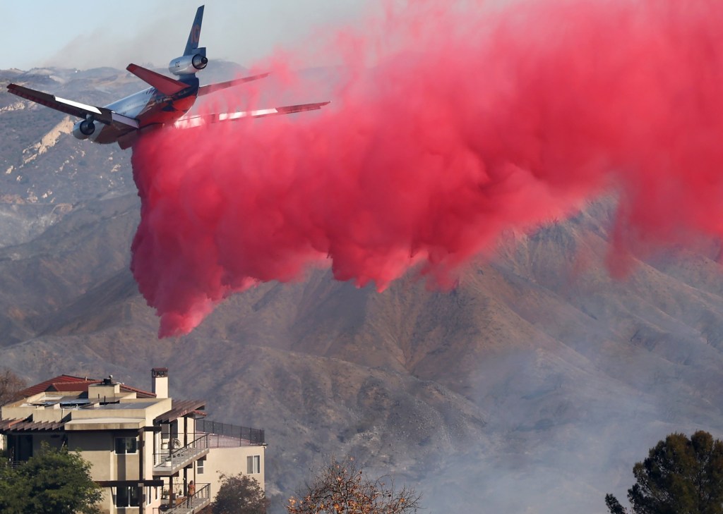

A Santa Ana windstorm that could turn out to be the strongest this winter in San Diego County will arrive with explosive force Monday night in the flint dry backcountry, sending the threat of wildfires soaring, the National Weather Service said.
The third major windstorm this month also could cause widespread tree damage and make driving in the local mountains difficult, especially along Interstate 8, state Route 76 and state Route 78, and the north-west stretches of Interstate 15.
“Santa Ana winds with gusts of 40-60 mph will develop across mountains and foothills (with) locally higher gusts of 60-80 mph plus across the usual wind-prone locations,” the weather service said in a statement.
A red flag fire weather warning will be in effect from 8 a.m. Monday to 10 p.m. Tuesday for areas east of Interstate 15. Forecasters and first responders are concerned that flash fires in the backcountry could spread west toward more populated areas.
San Diego International Airport has recorded only 0.14 inches of precipitation since October 1, when the rainy season began. That’s 4.11 inches below normal. The city is experiencing the driest rainy season since 1850.
San Diego Gas & Electric has notified 83,600 of its customers that it might temporarily turn off their power on Monday and Tuesday to reduce the chances that sparks from power lines and other equipment could cause a wildfire in the backcountry, which is rarely as dry as it is right now. (Click here for updates).
The utility has stationed staffers in canyons and on peaks to watch for trouble. It also will closely monitor the 134 live wildfire cameras that UC San Diego’s AlertCalifornia network is operating across the county.


