
The days before Thanksgiving, usually among the busiest for travel, are expected to see severe weather that could affect holiday plans for millions of Americans headed to see loved ones.
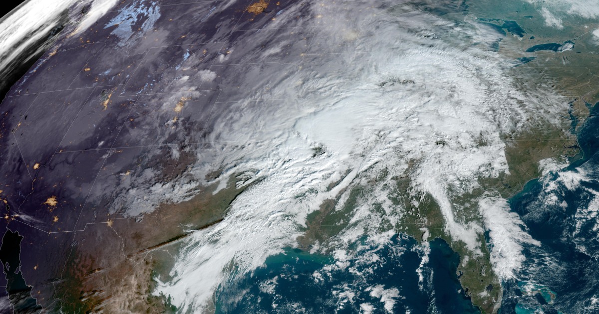
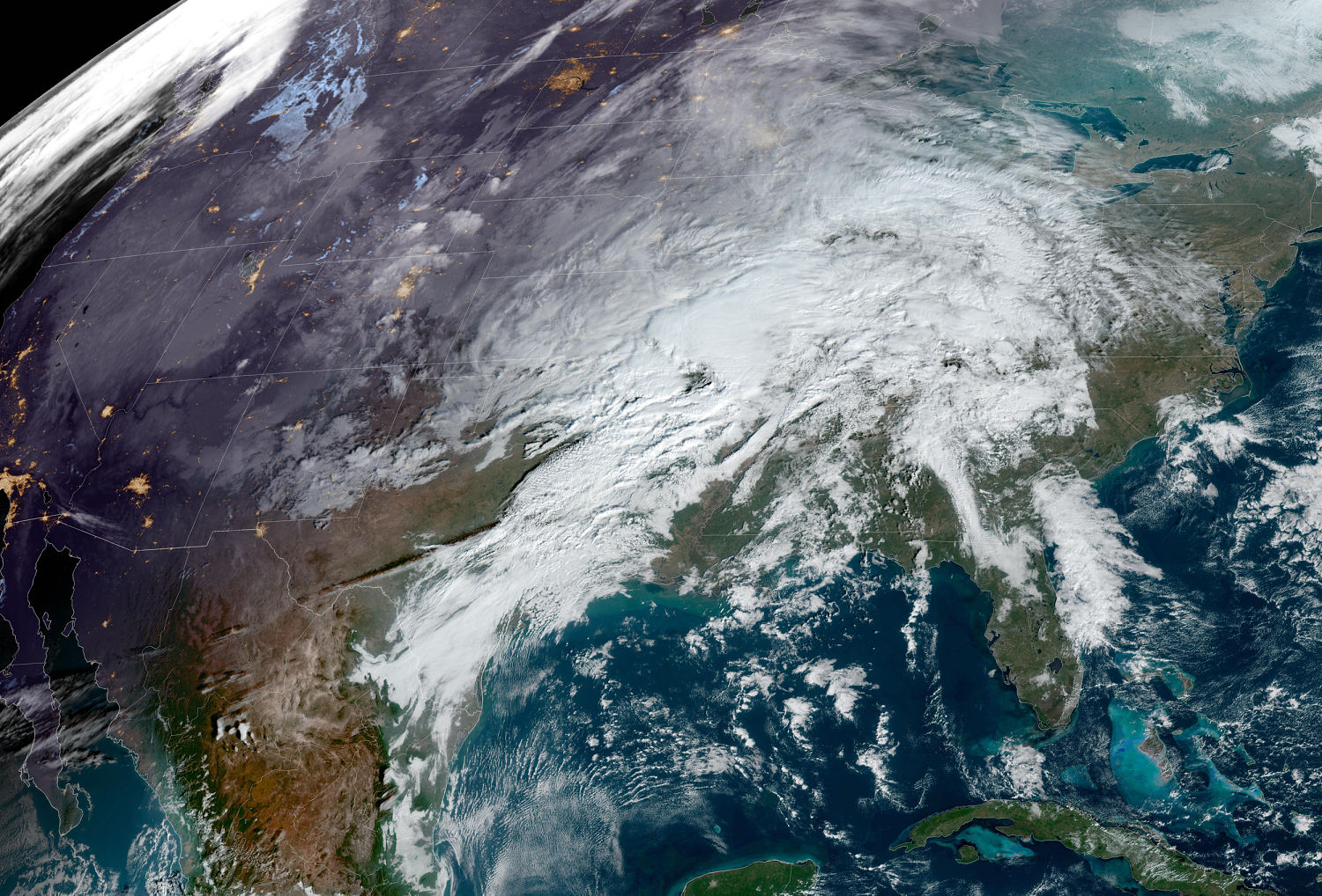
A powerful system will move east over the next few days, bringing several risks including heavy rain, strong winds and severe storms to the eastern half of the country that could severely affect travel.
Monday was shaping up to be a volatile day, with 10 million people at risk for severe storms across an area spanning from east Texas, to the lower Mississippi Valley and into western Alabama.
Storms were forecast to fire in the late afternoon across eastern Texas, then track across Louisiana and eventually into western Alabama during the afternoon and evening hours.
Of particular concern to forecasters was the risk for strong, long-track tornadoes that could occur after sunset. Nighttime tornadoes are more than twice as likely to be deadly than daytime ones.
While damaging winds and tornadoes were the primary risks, the chance of large hail could also not be ruled out. The threat of heavy rain will also exist, but the speed of this system will likely limit flash flooding.
Jackson, Mississippi; Alexandria, Shreveport and New Orleans in Louisiana; and Mobile, Alabama, were all metro areas in the severe storm risk Monday.
It has been a quiet autumn season when it comes to severe weather, with Monday featuring the first significant tornado threat since late August for anywhere across the country.
In addition to the severe storms across the South and Gulf Coast states, heavy rain was also expected to cause travel delays across parts of the Midwest and Great Lakes.
Major airport hubs that could experience rain or storm delays on Monday include Chicago, Kansas City, St. Louis, Dallas, Houston and New Orleans.
On Tuesday, the large storm system was projected to move east, bringing rain to the Mid-Atlantic and Great Lakes and wintry precipitation to the interior Northeast.
Strong to severe storms were also forecast to continue rolling across parts of the Gulf Coast, Southeast and into the Mid-Atlantic. The greatest threat for tornadoes on Tuesday will be for southern Alabama into the Florida Panhandle.
Major airport hubs that can anticipate weather-related delays Tuesday due to rain, wind or thunderstorms are Chicago, Atlanta, Charlotte, the Washington D.C.-area airports, Philadelphia and New York City-area airports.
By Wednesday, the storm will be pulling away from the East Coast, but northern New England and Maine will still see rain and snow through the evening.
Hubs like Atlanta and Charlotte could deal with lingering showers in the early hours, as well as Washington, Philadelphia and New York. Boston is the biggest hub that could contend with strong winds and rain into the afternoon hours on Wednesday.
A large, cross-country storm Thanksgiving week wouldn’t be complete without winter weather also hindering travel in spots.
On Monday, snowfall will likely affect travel across Colorado, with the major hub of Denver expecting 2 to 6 inches of snow and winds that could gust from 30 to 55 mph.
On Wednesday, much of New England will be at risk of winter weather, as well as a threat of snow and ice. Snowfall totals will likely range around 4 inches, with isolated up to 10 inches possible at the highest elevations. A light glaze of icing will also be possible.
While the travel week is setting up to be a challenging one due to numerous weather threats across the country, Thanksgiving itself is forecast to be quite pleasant for most of the country.
Relatively seasonable temperatures are expected countrywide and while the Gulf Coast could get some stray showers, and the Northern Rockies may deal with more rounds of snow showers, the majority of the country looks to remain mostly dry.


